Brisbane
A river city that works as a base — what to see, where the areas are, and when to come
Brisbane is easy to treat as a change of planes on the way to the reef or the beaches, and a great many people do. That is a mistake worth avoiding. The city has a free gallery of international standing, a river you travel on for 50 cents, and islands and rainforest within a day of the centre. Its best months are the ones the south of Australia calls cold.
We have been to Brisbane, and this page says where that helps. We stayed three nights in the CBD, got around by bicycle and on foot, and rode the whole river loop out to Indooroopilly and back. The visit came before the two new footbridges opened in 2024, so what we say about them is researched, as is everything about the Gold Coast.
Last updated 22 September 2026
A little background
The Turrbal, Yugara and Quandamooka peoples each claim traditional ownership of the land Brisbane stands on. Its Aboriginal name is contested, and the contest is worth knowing. Meanjin, the name you will see most, is usually glossed as "place shaped as a spike", for the land inside the river's bend. Yagara Elder Gaja Kerry Charlton argues that Magandjin, after the magan tulipwood trees at Gardens Point, is the more accurate name. You can stand under those trees in the City Botanic Gardens.
Two events explain most of what a visitor sees. Expo 88 left the parkland that became South Bank, which is now the city's front room. The 2032 Olympic and Paralympic Games are making the next version now. Greater Brisbane has about 2.8 million people and is growing at roughly 2.7% a year, according to the Australian Bureau of Statistics' regional population release of March 2025.
The Games have a cost you can see. Victoria Park, Barrambin, north of the centre, was fenced in June 2026 for a new stadium, and will stay fenced for about five years. The Queensland government says about two-thirds of the park will remain public green space. Save Victoria Park disputes that, and Gaja Kerry Charlton and the Yagara Magandjin Aboriginal Corporation have lodged federal heritage challenges. We report both positions; the dispute itself is the fact.
How the city fits together
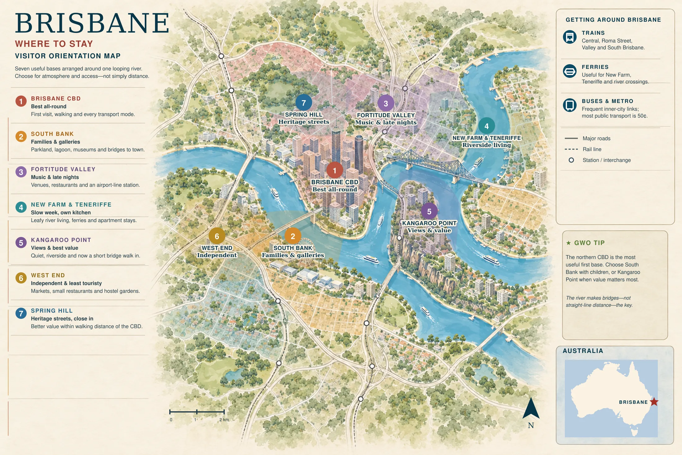
The river explains Brisbane. It does not run past the city; it loops through it, bend after bend, so that two neighbourhoods a few hundred metres apart across the water can be several kilometres apart by road. That is why the city runs ferries as ordinary public transport, why it keeps building bridges, and why a local giving directions will talk about which side of the river you mean.
The CBD sits on a peninsula inside the tightest of those bends, with water on three sides. South Bank faces it across the river. Everything beyond the centre climbs onto ridges, which is why a walk that looks flat on the map rarely is. The seven panels below name the areas you will meet on this page and on our where to stay and where to eat guides, by the same names each time.
Brisbane CBD
the peninsula and the hubThe grid of streets inside the bend: Queen Street Mall, the City Botanic Gardens and Queen's Wharf. Every mode of transport meets here, and it is where we stayed. It is the most convenient base in the city and the dullest after the offices close.
South Bank & South Brisbane
galleries and the lagoonThe Expo 88 parkland opposite the CBD, the galleries, museum and State Library of the Cultural Centre, and the laneway bars of Fish Lane behind them. Most of what a first visit wants is on this side of the water.
West End
independent, least touristyUpstream of South Bank: Boundary Street, Vietnamese bakeries, bookshops and the Saturday market at Davies Park on the riverbank. It is off the rail line, so buses and the ferry do the work.
Kangaroo Point & Woolloongabba
cliffs and a new bridgeKangaroo Point is the peninsula downstream, with the cliffs and the best view of the city. Its 470-metre bridge opened in December 2024 and put it ten to fifteen minutes on foot from the gardens. Woolloongabba behind it is the Gabba and an antiques strip, and a Cross River Rail worksite until the line opens.
Fortitude Valley & Howard Smith Wharves
music and late nightsFortitude Valley is the city's entertainment precinct by design, with Brunswick Street Mall, Chinatown and James Street at the smarter end. Howard Smith Wharves is the strip of restored wharves below it, under the Story Bridge, and it is mostly about eating and drinking by the water.
New Farm, Teneriffe & Newstead
the slow riverside stretchThree areas along the next bend downstream. New Farm has the park and the Brisbane Powerhouse; Teneriffe has the converted wool stores; Newstead has the breweries and small bars. Leafy and residential, and furthest of the inner areas from the sights.
Spring Hill and Petrie Terrace & Paddington
heritage streets, uphillThe ridge north of the CBD. Spring Hill is the oldest inner neighbourhood, with the Old Windmill and the Spring Hill Baths. Petrie Terrace & Paddington, on its western shoulder, has Caxton Street, Suncorp Stadium and streets of heritage cottages.
Places you don’t want to miss
Nine places, and the river is one of them. Most lists leave it out, and most visitors go home talking about it.
South Bank Parklands
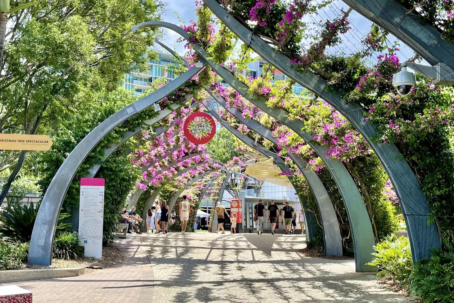
The Expo 88 site, now 17 hectares of free parkland. Streets Beach is a lifeguarded lagoon whose sand is topped up every year, and it exists for a plain reason: nobody swims in the Brisbane River.
QAGOMA
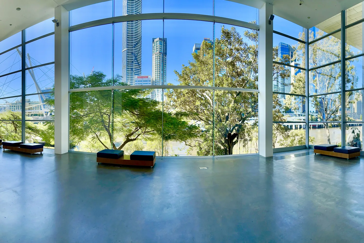
Two galleries 150 metres apart, both free to enter. It is home to the Asia Pacific Triennial, and the Australian Cinémathèque inside GOMA is the part almost nobody writes about.
Story Bridge
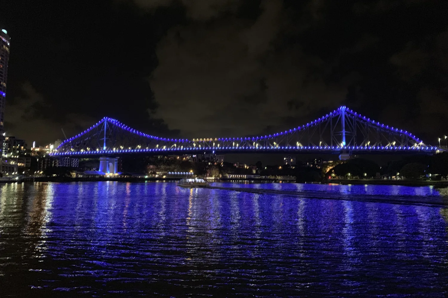
Opened in 1940 and designed by J.J.C. Bradfield, who also designed the Sydney Harbour Bridge. Since October 2025 the climb has been the first bridge climb in the world that a wheelchair user can do.
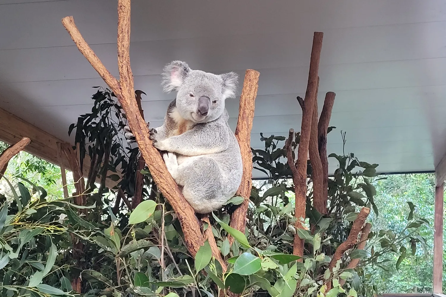
Lone Pine Koala Sanctuary
Founded in 1927 and the oldest koala sanctuary in the world, 12 km out by bus or river cruise. You can no longer hold a koala here, and have not been able to since 1 July 2024.
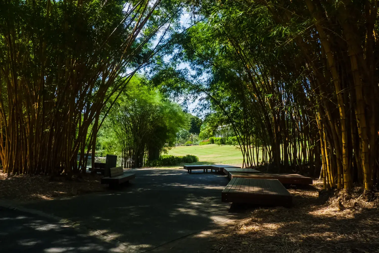
Mount Coot-tha
The lookout that explains the city, with the Brisbane Botanic Gardens and a planetarium below it, all free. The reserve has more than seventy walking tracks, so it is a walk as well as a view.
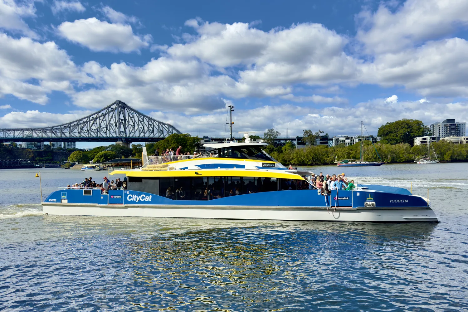
The river, by ferry
The CityCat runs from the university at St Lucia to Northshore Hamilton, calling at 22 terminals, for 50 cents. The CityHopper across the centre is free. It is the best value in the city.
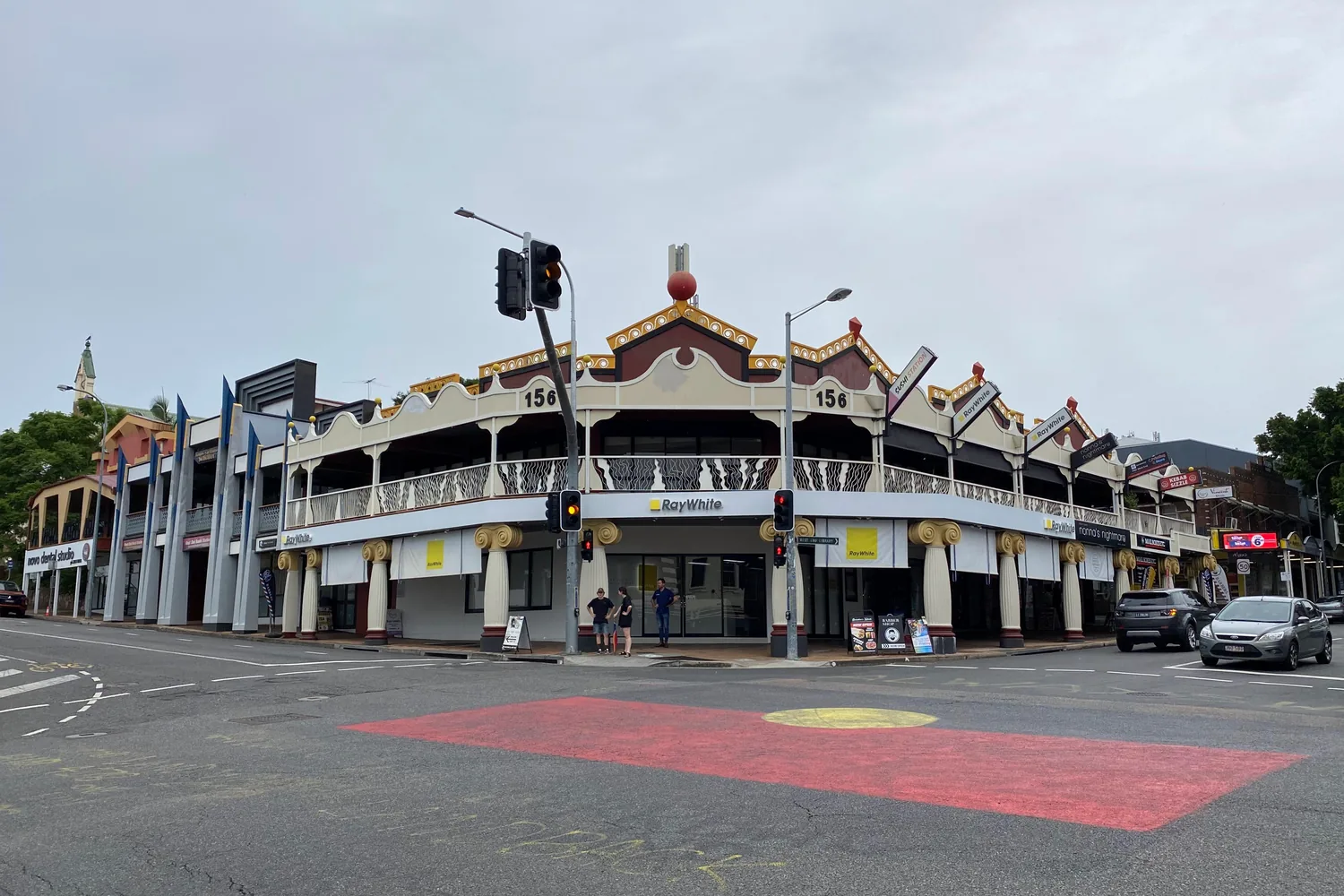
West End
The least processed part of inner Brisbane, and the best argument for walking without a plan. Come on a Saturday morning, when the market is on by the river at Davies Park.
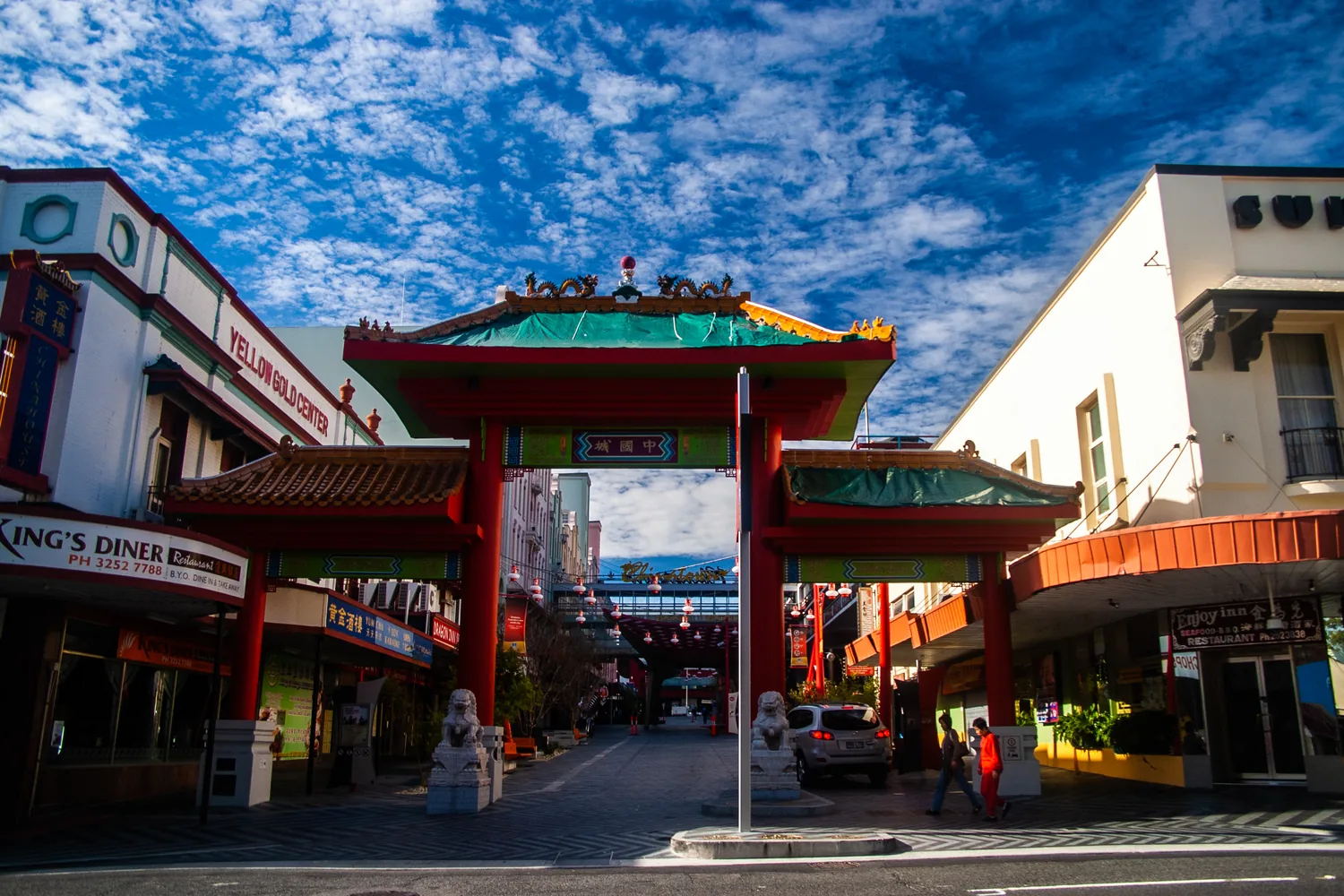
Fortitude Valley
Brisbane's live-music district, and busiest after dark. Brunswick Street Mall and Chinatown are closed to traffic; James Street, at the quieter end, is where the Valley shops rather than drinks.
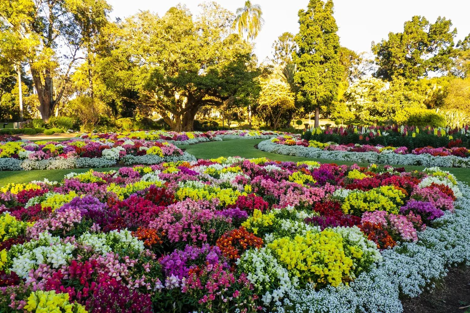
City Botanic Gardens & Old Government House
The 1855 gardens on the river bend, and the magan trees behind the name Magandjin. Next door is Old Government House, where QUT's curator says the lamington was made in 1900 — a claim still argued over.
We have not written these places up individually. Their cards carry no link rather than a link to nothing.
The four practical questions
When should I visit Brisbane?
The dry, mild months either side of winter, and why the nights matter.
See below ↓ Where to stayWhere should I stay in Brisbane?
Seven areas compared, and the bridge that changed the answer.
Read the guide → Where to eatWhere should I eat in Brisbane?
Six food areas, and why the best of them is not where you sleep.
Read the guide → Getting aroundHow will I get around?
A 50-cent fare, one expensive exception, and a Metro that is a bus.
See below ↓When to visit
April to May and August to October are the months to aim for. Summer is hot and humid rather than unbearable, and winter days are the best of the year. The figures below are the Bureau of Meteorology's long-term averages for the city.
| Months | Temperature | Rain | What it means |
|---|---|---|---|
| December to March | January averages 30°C by day and 22°C at night | The wet months: 8 to 10 rain days a month | Hot and humid. Plan the mornings and let the afternoon storm pass |
| April to May | 27°C falling to 25°C by day | About 6 to 7 rain days a month | One of the two best windows |
| June to August | 22°C by day; 10.5°C at night in July | The driest stretch: 4 rain days in July | Fine days, cold evenings. Pack a warm layer |
| September to November | 26°C rising to 28°C by day | September is the driest month of the year | The other best window, with the Brisbane Festival in September |
Brisbane rain comes hard and briefly. Even in the wettest months it rains on about ten days in thirty, and a summer storm is usually short and violent rather than an afternoon of drizzle. An all-day plan suffers from it; an afternoon plan survives it. The average rainfall figures in summer are carried by a few very large days, so a typical wet-season day is dry.
Winter nights are the detail most guides skip. July's average low is 10.5°C, and Queensland buildings are designed to lose heat, not hold it. Bring something warm for the evening.
Three events fill the city's beds. The Ekka, the Royal Queensland Show, runs for nine days in mid-August. The Brisbane Festival takes most of September, and Riverfire, its fireworks night over the river, falls in early September. Book ahead if your dates touch any of them. The national picture is in our guide to the best time to visit Australia.
Getting around
Every TransLink journey costs 50 cents — bus, train, ferry or tram, whatever the distance. The flat fare began in August 2024 and was made permanent the same year. Tap on with a go card, a contactless bank card or a phone. You cannot pay cash on board.
The one exception is the airport train. Airtrain is privately run and sits outside the flat fare: from about $23 into the city, far more than any other train in Queensland. It takes around 20 to 25 minutes. Fares change, so check them at airtrain.com.au before you rely on a figure.
The ferries are the best of it. The CityCat runs the length of the river, the free CityHopper shuttles across the centre, and small cross-river ferries link New Farm and Teneriffe to the far bank. They are ordinary public transport, and the easiest way to understand the city's shape.
Anything written before mid-2025 has the wrong bus numbers. The whole bus network was redesigned on 30 June 2025. The Brisbane Metro that began that year is not an underground: it is two routes of long electric buses on dedicated busways. The rail lines were also given numbers, T1 to T6, in August 2026, and older maps use names instead. Cross River Rail, the new tunnel under the river, is now expected to carry trains from 2029.
On foot, the centre is now a loop. The Neville Bonner Bridge from Queen's Wharf to South Bank opened in August 2024, and the Kangaroo Point Bridge in December 2024. With the older Goodwill and Kurilpa bridges, you can walk the centre in a circle, crossing the river as you go. Both bridges opened after our visit, so this is researched rather than walked. We got about by bicycle, and the river loop to Indooroopilly and back, 35 to 40 km with some real climbing, is one we would recommend.
Day trips
Because of the flat fare, many day trips from Brisbane cost about a dollar in fares, return. The train reaches Beerwah for Australia Zoo, the Glass House Mountains and the Gold Coast. The catch is that the two best natural days, Springbrook and Lamington in the Gondwana rainforest, have no useful public transport. If you hire a car for one day in Brisbane, make it one of those.
Australia Zoo is a full day, and still offers the koala holding that Lone Pine has stopped. The Gold Coast is an hour by train and deserves more than a day; we plan a page of its own for it. Lady Elliot Island, the nearest reef island to Brisbane, is about 80 minutes by light aircraft from Brisbane or Redcliffe.
Minjerribah, North Stradbroke Island, is a day trip and not a city highlight, though it sits in Brisbane's own bay. Getting there takes a train to Cleveland, a separate ferry with its own fare, and an island bus, and the last ferry back shapes the whole day. The passenger ferry takes about 25 minutes; the vehicle ferry closer to 50. Noosa is sold as a 90-minute hop and is nearer two hours each way. Go, but stay a night.
A few honest limits
It is not a beach city. Brisbane's own bay shore is tidal flats, and the surf is an hour away in either direction. Nobody swims in the river, which carries bull sharks and working traffic; that is why South Bank built a lagoon. And the city is a building site until 2032: Victoria Park, the Games venues and Cross River Rail are all under way. None of that is a reason not to come. It is a reason to know what you are looking at.
If a beach holiday is the point, stay on the Gold Coast or the Sunshine Coast rather than commuting. If the reef is the point, the main reef coast is far to the north, and Cairns is the place to base yourself. If holding a koala is the point, Lone Pine is no longer the place, though it is still the place for seeing a hundred of them in the trees. And if this is your only Australian city, it should probably be Sydney.
A final word on Brisbane
Give Brisbane three days and use the river, and it stops being a stopover. The galleries are free and the ferries cost almost nothing. The city is changing fast, and not all of that change is agreed. That is part of what makes it worth seeing now.
Andrew + Margaret
- Where to stay in Brisbane Practical
- Where to eat in Brisbane Practical
- Australia Zoo Overview
- Lady Elliot Island Overview
- Best time to visit Australia Practical
- Visiting Australia Overview
- Bureau of Meteorology — Brisbane climate averages Official
- TransLink — 50 cent fares Official
- Brisbane City Council — Victoria Park and ferries Official
- QAGOMA — what's on Official
- SeaLink — North Stradbroke Island ferries Booking