Gold Coast
Fifty kilometres of surf, a tram along most of it, and rainforest an hour behind
The Gold Coast is easy to picture and easy to misjudge. The postcard is Surfers Paradise: towers on the sand and a crowded beach below them. But the city runs for fifty kilometres down the coast, and most of it is lower and slower than that. It changes from one stretch of beach to the next, and the World Heritage rainforest of the hinterland is an hour inland. Choosing where on the coast to stay matters more here than in almost any Australian city.
We have not been to the Gold Coast. This page is researched from the Queensland government, the City of Gold Coast, Queensland Parks and the Bureau of Meteorology. Where those sources leave something unclear, we say so rather than guess.
Last updated 23 September 2026
A little background
The coast is part of the Yugambeh language region, and the Kombumerri are among its traditional owners. The Burleigh headland is Jellurgal, a place with its own Dreaming story. The community-owned Jellurgal Aboriginal Cultural Centre, at the foot of the headland, is where to hear it told by the people it belongs to.
The resort city is recent. In 1925 Jim Cavill opened the Surfers Paradise Hotel on Ferry Road, now Cavill Avenue, and in 1933 the settlement of Elston renamed itself after the hotel. The first residential tower, the eleven-storey Kinkabool, went up in 1960. The Meter Maids, who have fed parking meters in gold bikinis since 1965, belong to the same decade of self-promotion.
The 2018 Commonwealth Games were held here, the first major multi-sport event with equal numbers of medal events for men and women. Their athletes' village in Southport is now housing. About 625,000 people live in the City of Gold Coast, by the 2021 Census.
How the Gold Coast fits together
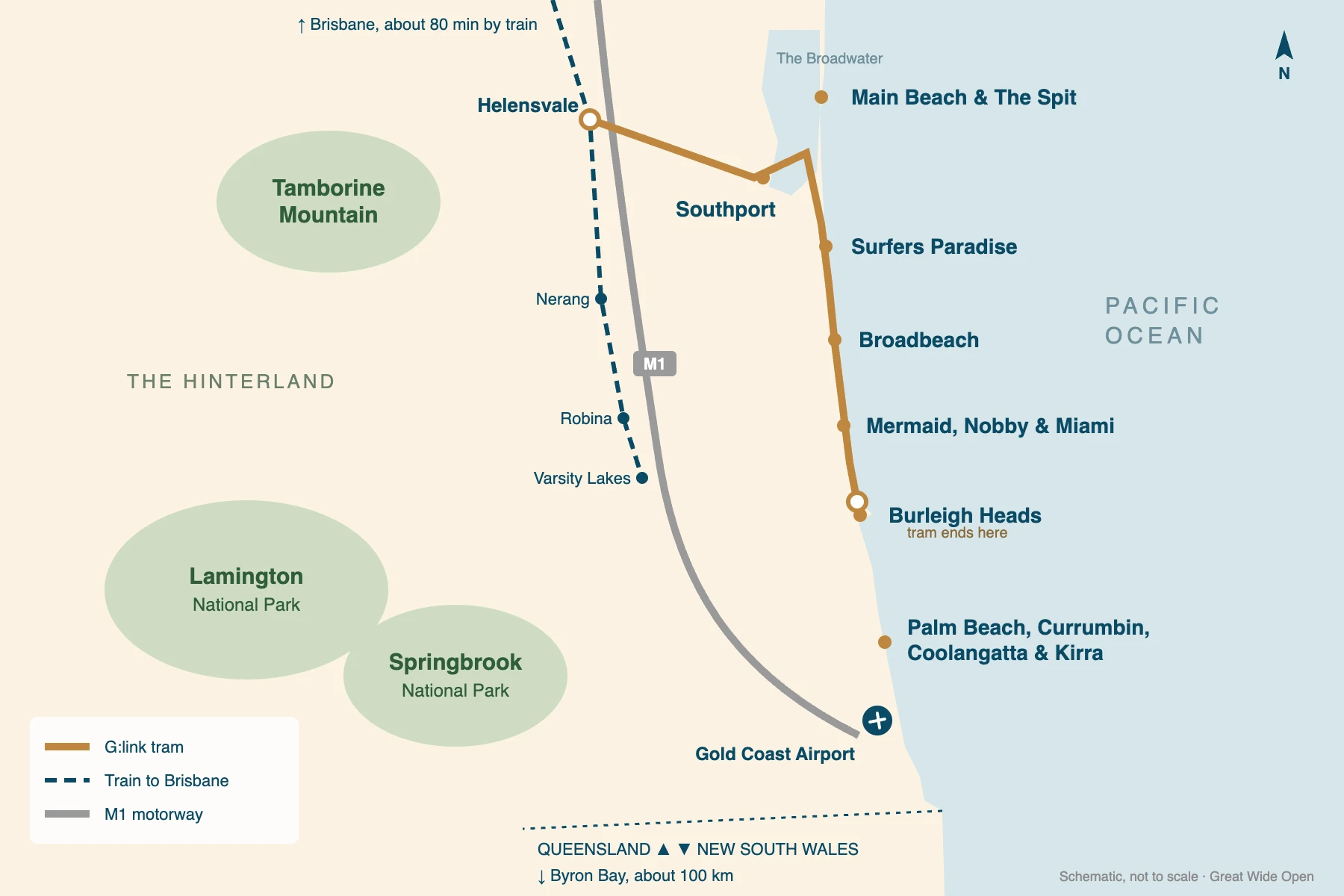
It is a line, not a circle. The city runs south from the Broadwater and The Spit to the New South Wales border at Coolangatta. The ocean is on one side, the Gold Coast Highway and the tram run down the middle, and the M1 motorway runs behind. Past that are canals, suburbs, and then the ranges of the hinterland.
The tram decides more than the map does. Since 9 August 2026 the G:link light rail has run the 27 kilometres from Helensvale to Burleigh Heads. Anywhere along it is easy to reach without a car. South of Burleigh the buses take over, and the coast gets quieter as you go. The seven panels below use the same area names as the rest of our Gold Coast coverage.
Main Beach & The Spit
marina, dunes, Sea WorldThe northern tip, with the marina and its restaurants, Sea World, and one of the last undeveloped dune systems on the coast. It is polished and close to everything, without the noise of Surfers.
Southport
the working centreThe city's business district, on the calm Broadwater rather than the surf. It is one of the tram's main interchanges, and has a Chinatown on Davenport and Young Streets. Few holidaymakers stay here, and it is the place to eat cheaply.
Surfers Paradise
the towers and the crowdsThe high-rise centre, around Cavill Avenue, its busiest tram stop. The beach is fine and the energy is real. It is also where Schoolies week happens every November, so it suits some trips far better than others.
Broadbeach
towers, but calmerThe same towers-on-the-beach form as Surfers, a little further south and a good deal calmer. It has more restaurants than bars, two tram stops, and a craft market on the first and third Sundays of the month.
Mermaid, Nobby & Miami
low-rise, newly on the tramThree beach suburbs of houses and low apartment blocks between Broadbeach and Burleigh. Nobby Beach has a strip of casual restaurants, and Miami has an evening market and a brewery. The tram reached all three in August 2026.
Burleigh Heads
the headland and the villageA village under a rainforest headland, with a famous surf break off the point. Its cafés and restaurants draw people from the whole coast. With the tram now ending here, it is the most complete base on the coast.
Palm Beach, Currumbin, Coolangatta & Kirra
surf towns to the borderFour surf towns running south to the state border. Palm Beach and Currumbin sit at the mouths of two creeks, and Currumbin has the wildlife sanctuary. Coolangatta and Kirra are closest to the airport, facing the famous point breaks at the border.
Places you don’t want to miss
Eight places. Two are on the coast's headlands, four in its towns, and two in the rainforest behind it, which most visitors never see.
Burleigh Head National Park
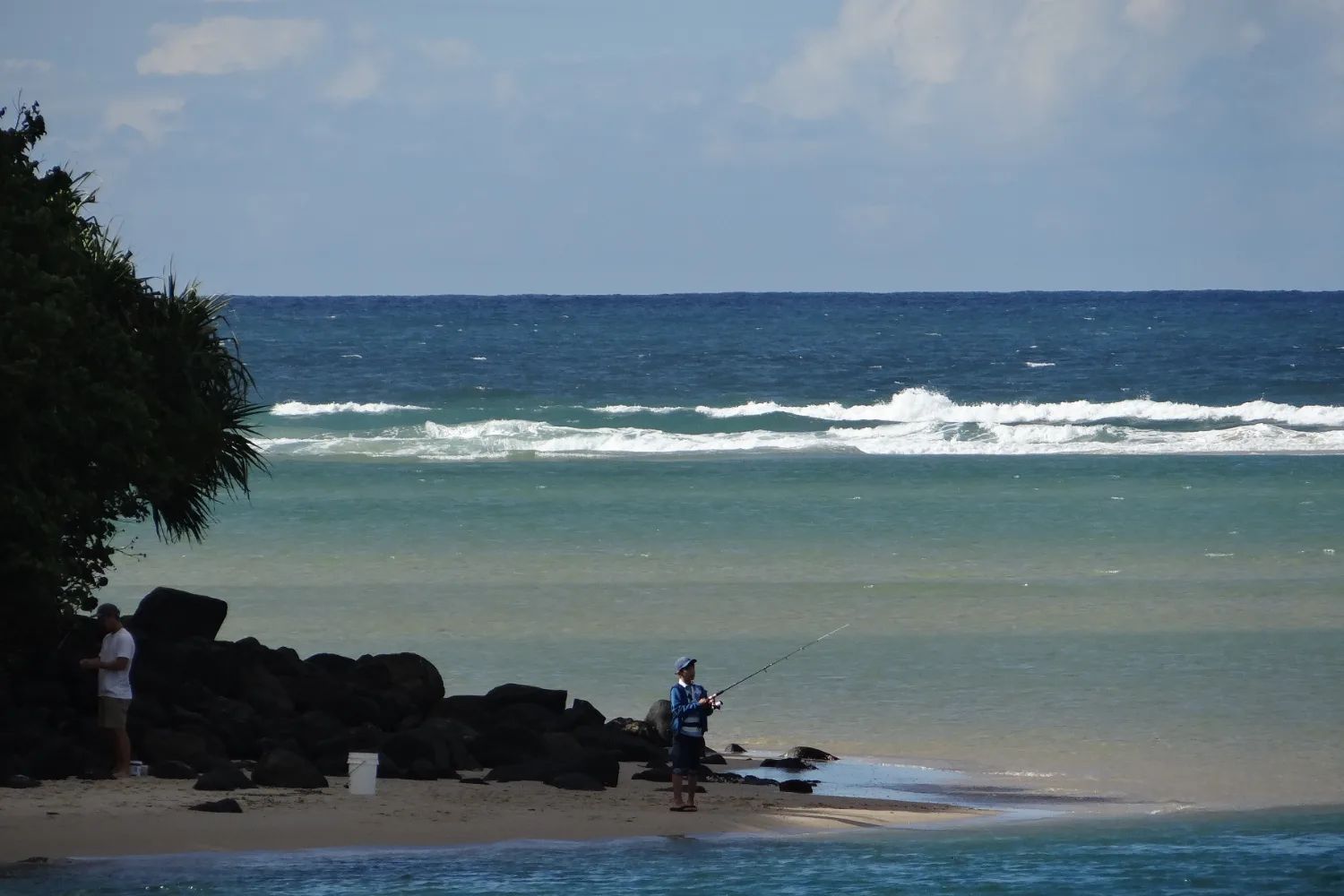
Two walks round Jellurgal, the headland: a 1.2 km ocean track and a 2.3 km rainforest circuit. Watch for whales from Tumgun Lookout in winter and spring. The ocean track closes when rockfall is a risk.
Currumbin Wildlife Sanctuary
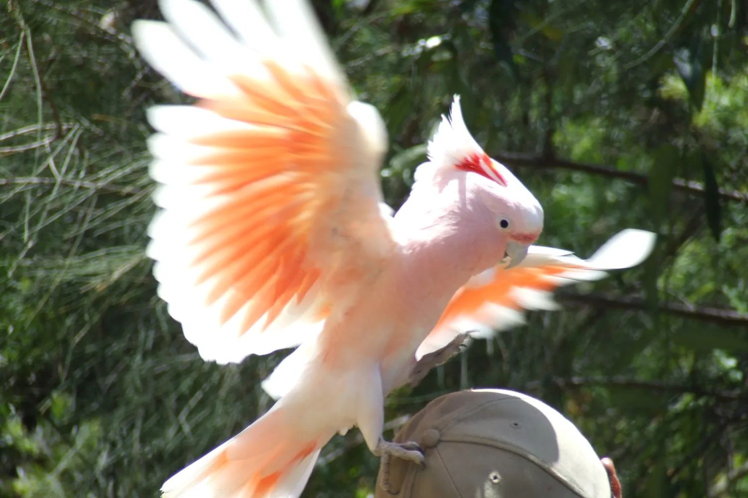
Run by the National Trust of Australia, with one of the busiest wildlife hospitals in the world on site. Buy tickets online, and come for the lorikeet feeding at 8am or 4pm.
The Spit & Federation Walk
A 3.5 km path through one of the coast's last undeveloped dune systems, from opposite Sea World to the Seaway. It shows what the whole coast looked like before the towers.
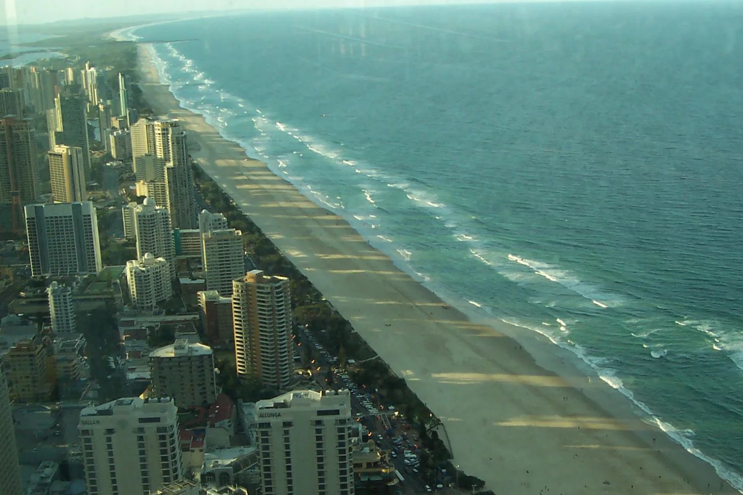
SkyPoint
The observation deck on level 77 of the Q1 tower, 230 metres up. Go at dusk, when you can see how long the coast is, how thin, and how close the ranges are behind it.
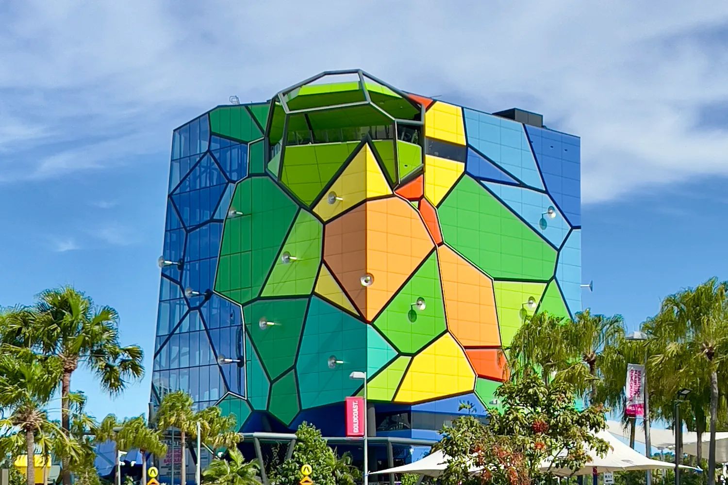
HOTA, Home of the Arts
An arts precinct in parkland by the Nerang River. Its gallery, opened in 2021, is described as the largest public gallery outside an Australian capital city. There is a farmers' market on Sunday mornings.
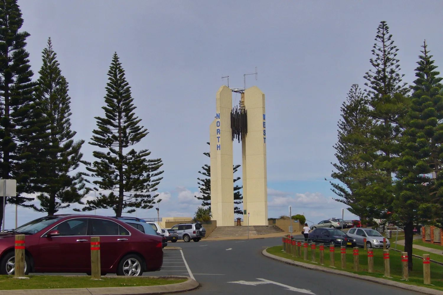
Point Danger & Snapper Rocks
The headland on the state border, named by Cook in 1770. Its lighthouse was the first in the world to experiment with lasers. Snapper Rocks, below it, is one of Australia's best-known surf breaks.
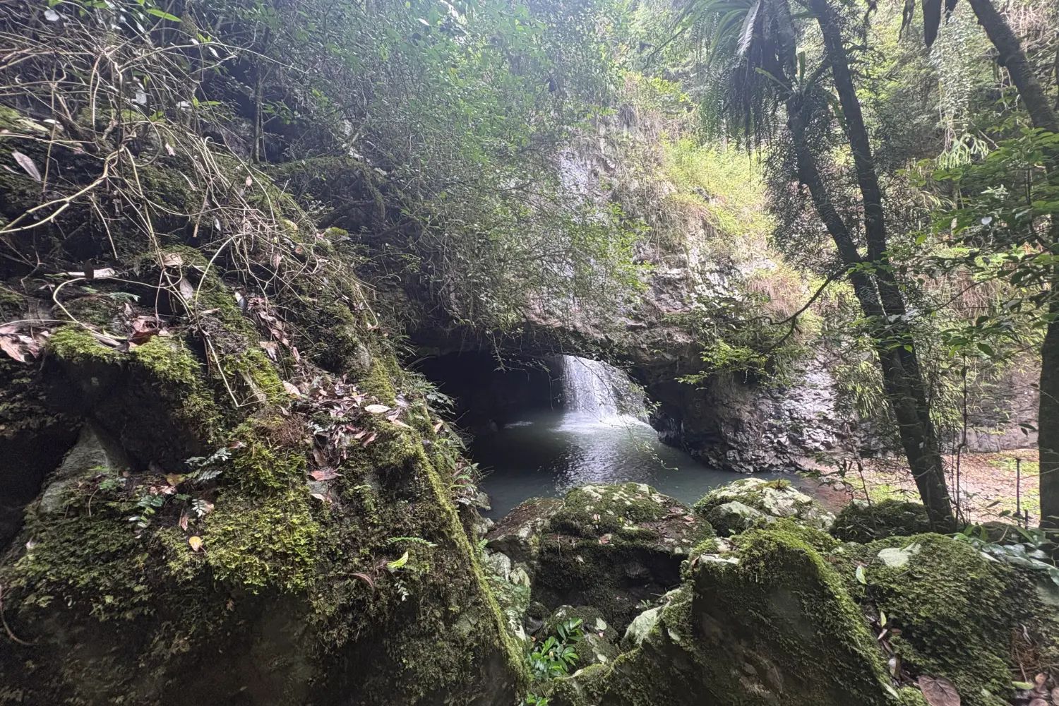
Springbrook & the Natural Bridge
A waterfall pours through the roof of a cave, and at night the cave lights up with glow-worms. More than 400 people come on some nights. Swimming there is banned, with fines.
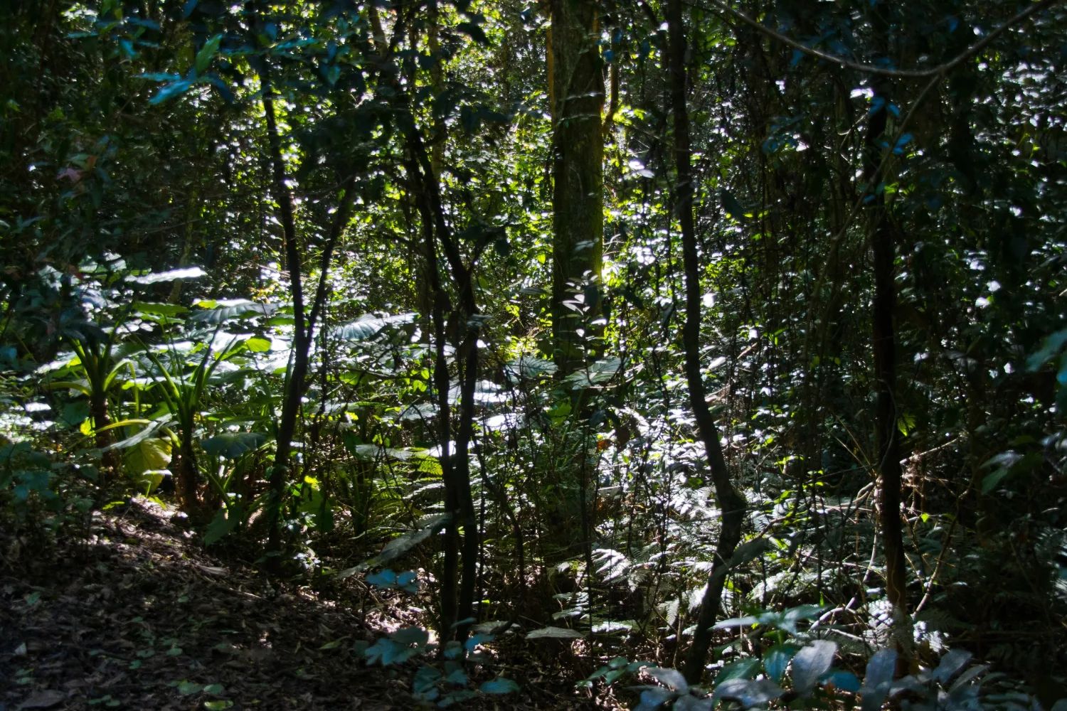
Lamington National Park
Part of the Gondwana Rainforests World Heritage Area, with two separate entrances, Binna Burra and Green Mountains, 80 minutes apart by road. Check park alerts before you drive: storm damage affects it until the end of 2026.
We have not written these places up individually. Their cards carry no link rather than a link to nothing.
The four practical questions
When should I visit the Gold Coast?
The dry, warm shoulders of the year, and the two weeks to avoid.
See below ↓ Where to stayWhere should I stay on the Gold Coast?
Which stretch of the coast, and why the tram decides it.
See below ↓ Where to eatWhere should I eat on the Gold Coast?
The food suburbs south of the towers, and the markets.
See below ↓ Getting aroundHow will I get around?
A 50-cent tram, a new bus from the airport, and when you need a car.
See below ↓When to visit
April to June and September to early November are the months to aim for. The sea is warm enough to swim in all year, and the winter days are warm enough for the beach. The figures below are Bureau of Meteorology long-term averages for Coolangatta.
| Months | Temperature | Rain and sea | What it means |
|---|---|---|---|
| December to February | 28°C by day, 20–21°C at night | The wet season; the sea is at its warmest, about 27°C | Hot, humid and busy with the summer school holidays |
| March to May | 27°C falling to 23°C | March is the wettest month; drier from April | April and May are one of the two best windows |
| June to August | 21°C by day, 10–11°C at night | Fewer wet days; the sea is about 22°C | Beach days and cool nights, and the whale season begins |
| September to November | 23°C rising to 26°C | September is the driest month of the year | The other best window, until Schoolies in late November |
Two weeks change the coast. Schoolies, when Queensland's school leavers celebrate in Surfers Paradise, runs from 21 to 27 November in 2026. The Gold Coast 500 motor race takes over the Surfers Paradise streets from 22 to 25 October 2026. Avoid Surfers in those weeks unless you are there for them. The Gold Coast Marathon, in early July, fills beds too.
School holidays set the prices. Queensland's families come in every break, and summer is the biggest. We could not confirm the 2026 term dates from the Department of Education's calendar, so check them there before you book. The national picture is in our guide to the best time to visit Australia.
Where to stay
Stay on the tram line unless you have a car. Anywhere from Main Beach to Burleigh Heads puts the beach, the restaurants and the rest of the coast within a short ride. South of Burleigh, you will be waiting for buses.
Broadbeach is the easiest all-round base: towers on the beach, but calmer than Surfers, with plenty of restaurants. Burleigh Heads suits anyone who would rather wake in a village than a tower, and the tram now starts there. Surfers Paradise suits a short, lively stay, and not Schoolies week. Coolangatta works for an early flight or a surfing trip.
Much of the accommodation in the towers is holiday apartments rather than hotel rooms, which suits families and longer stays, though we found no official figure for the mix. The City of Gold Coast also runs beachside holiday parks, including at Burleigh, Tallebudgera Creek and Kirra, if you are travelling by campervan. For how Australian accommodation works, and what to book ahead, see our guide to accommodation in Australia.
Where to eat
The best eating is south of the towers. Burleigh Heads has the widest range, from beach cafés to fine dining, along its village streets. Nobby Beach is the casual strip, Broadbeach is the place for dinner near the towers, and Southport's Chinatown, on Davenport and Young Streets, is the place to eat cheaply. Main Beach has the marina restaurants.
The markets are a meal in themselves. Miami Marketta runs street food and music on Wednesday, Friday and Saturday evenings. HOTA's farmers' market runs on Sunday mornings, and the Sanctuary Markets at Currumbin on Friday evenings. Market days change, and our source for them is secondary, so check the organiser's own page before you go.
Getting around
The tram is the spine of the coast. The G:link light rail runs from Helensvale through Southport, Surfers Paradise and Broadbeach to Burleigh Heads, 27 stops in all. The line reached Burleigh on 9 August 2026, and trams run about every 7.5 minutes through the day. Maps and guides written before August 2026 show it ending at Broadbeach.
Every TransLink journey costs 50 cents, on the tram, bus or train. The Queensland government made the flat fare permanent in 2024. Tap on with a go card or a contactless bank card.
From the airport, take the new route 777. Since 7 September 2026 it has run as a limited-stop express from the terminal at Coolangatta to Burleigh Heads, where it meets the tram. Taxis and rideshares wait at the terminal too. A planned tram extension to the airport has been dropped in favour of a frequent bus, which has no start date yet.
For Brisbane, change to the train at Helensvale. The Gold Coast line runs inland through Helensvale, Nerang and Robina to Varsity Lakes, and takes about 83 minutes from Varsity Lakes to central Brisbane. For the hinterland you need a car or a tour; the national parks have no useful public transport. Allow for the M1, which carries more than 150,000 vehicles a day through the city.
Day trips
Tamborine Mountain is the easy hinterland day: villages, cafés, wineries and Witches Falls, which was declared in 1908 as Queensland's first national park. Many of its wineries grow their grapes on the Granite Belt, two hundred kilometres away, so ask where the wine comes from. Springbrook and Lamington, the grid's two rainforest places, each need a full day.
Byron Bay is about 100 km south, in New South Wales, and takes 90 minutes to two hours by car, longer on a Friday afternoon. Brisbane is about 80 minutes by train; our Brisbane guide covers it. Wollumbin, Mount Warning, is the peak you see from the southern beaches, but its summit track is closed. The summit is sacred to the Bundjalung people and was declared an Aboriginal Place in 2014, so walk the lower tracks nearby instead.
A few honest limits
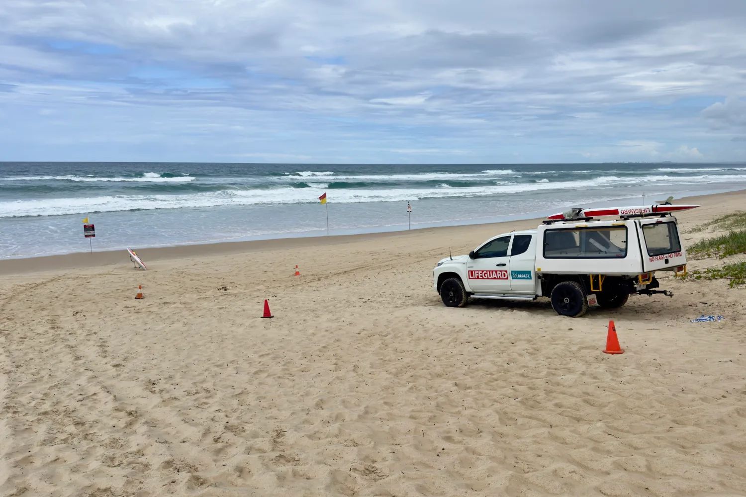
Rip currents are the danger here, not sharks or jellyfish. Council lifeguards patrol 28 beaches all year and 14 more in the busy seasons, and volunteer surf lifesavers patrol at weekends from late September. Swim only between the flags. If a rip takes you, float and signal; do not swim against it. In an emergency, call 000.
Box jellyfish do not reach this far south. They are a north Queensland problem, and the stings you might meet here are bluebottles, which are painful rather than dangerous. Shark nets and drumlines are set at 24 Gold Coast beaches, with drones patrolling 20 of them. Whether the nets come out in whale season is disputed, and the Queensland government does not say, so we cannot tell you.
The theme parks are north of the strip, except for Sea World on The Spit. Dreamworld, Movie World and Wet'n'Wild are near Coomera and Oxenford, off the M1. They are the reason many families come, and they are a separate day each. We do not profile them. If you want rainforest more than beach, stay in the hinterland for a night or two rather than driving up and back.
A final word on the Gold Coast
Choose your stretch of the coast before you choose your room, and ride the tram to see the rest. Give one day to the rainforest behind it. The Gold Coast is much more than its postcard, and it is easier to see than it has ever been.
Andrew + Margaret
- Brisbane Overview
- Best time to visit Australia Practical
- Accommodation in Australia Practical
- Getting around Australia Practical
- Visiting Australia Overview